Florida Modular Home Site Survey: What Engineers Need First
A foundation can be built to the approved drawings and still be in the wrong place, at the wrong height, or unreachable by a crane. A Florida modular home site survey helps catch those problems before an engineer fixes the concrete layout on paper.
For coastal sites, the survey needs to do more than mark property lines. It should give the engineer reliable elevations, site limits, and a clear picture of the space available for an elevated foundation. The first step is separating what the code requires from the information your particular site needs.
What a Florida modular home site survey must establish
Florida doesn't impose one statewide survey checklist for every modular-home foundation. The needed documents depend on the site, the engineer's design, and the authority reviewing the permit.
Start with the right property and jurisdiction
Confirm the legal parcel, street address, property boundaries, and permitting authority before design begins. A Fort Myers address might be inside city limits or in unincorporated Lee County. Similarly, a site near Naples may fall under the City of Naples or Collier County.
That distinction affects where plans go and which local floodplain procedures apply. In the Florida Keys, also establish whether the parcel falls within Key West or another Monroe County jurisdiction. An engineer shouldn't have to guess which rules apply from a mailing address.
Separate permit requirements from design inputs
The Florida Building Code, 8th Edition (2023), took effect on December 31, 2023. Its foundation and flood provisions apply alongside local review requirements, but it doesn't create a universal mandate for a new boundary survey, topographic survey, and soil boring on every project.
Your engineer may still need all three. For example, a narrow waterfront lot with an elevated concrete frame calls for much better position and grade information than an open inland parcel. Ask the engineer and building department whether an existing survey is current and detailed enough before using it for foundation drawings.
Boundaries, setbacks, and elevations before concrete layout
A survey should let the team place the proposed supports on the actual lot, rather than on an approximate site sketch. It also needs to show where construction equipment can reach those supports.
Locate the buildable area
The surveyor should identify the parcel boundaries and visible improvements relevant to placement. Have the designer review recorded easements, applicable setbacks, and any waterfront constraints against the proposed foundation footprint.
A tight Key West lot may have little room between a side setback and an existing wall. On a Sarasota canal parcel, a seawall or easement may limit where columns and grade beams can go. These details affect more than permit lines: a few feet can change the support layout and crane reach.
Don't assume an old survey reflects current conditions. Added paving, a relocated fence, erosion, or neighboring work can make an otherwise useful drawing incomplete.
Measure grades against the proposed support height
For an elevated structure, request spot elevations at useful locations: proposed column lines, access areas, low ground, drainage routes, and the road connection. The survey and engineering drawings should use a consistent vertical datum.
A correct foundation height depends on matching the surveyed ground, the required flood elevation, and the home's bearing elevation on the same set of drawings.
The Florida modular home site survey should make those relationships clear. If one sheet gives finished-floor elevation while another shows column tops without a common reference, construction crews can set accurate forms at the wrong height.
Flood-zone facts that change foundation engineering
Coastal flood review belongs near the start of foundation planning. A map designation alone doesn't tell the engineer how high the structure must sit or where its lowest structural member will land.
Confirm the mapped hazard and required elevation
Look up the parcel through FEMA's Flood Map Service Center, then confirm the applicable flood requirements with the local floodplain office. Gather the flood zone, base flood elevation where shown, and any local design flood elevation or freeboard requirement.
An AE-zone property in Fort Myers can have different structural considerations than a VE-zone waterfront site in the Florida Keys. Coastal A Zones also warrant close review for wave effects. Under the Florida Building Code's residential flood provisions, Zone A and coastal high-hazard conditions use different elevation and foundation criteria.
For some Zone A conditions, the lowest floor is the controlling elevation. In coastal high-hazard areas and Coastal A Zones, the bottom of the lowest horizontal structural member can be the controlling point. The engineer and local reviewer must apply the correct rule to the actual parcel.
Plan elevation verification at the right stage
A FEMA Elevation Certificate isn't a substitute for the survey information needed to start engineering. In a flood hazard area, the code calls for lowest-floor elevation documentation after that floor is placed and before further vertical construction.
Local offices may also request checks at other stages. A Florida-licensed surveyor or mapper typically prepares the certificate. Because a modular set can move quickly once sections arrive, agree on the measurement and inspection sequence before scheduling the crane.
Soil and waterfront conditions beneath the foundation
A boundary or topographic survey describes where work will happen. It doesn't establish how much load the ground can carry.
Give the engineer available subsurface information
Florida's building code addresses soils and foundations, including review of available subsurface information. The engineer decides whether existing records are sufficient or whether geotechnical testing is needed for the proposed work. There is no universal statewide boring requirement for every modular-home lot.
On a Tampa Bay infill site, past grading or fill may matter as much as the surface appearance. Near a Naples waterfront, the team may need to examine soft soils and groundwater conditions before selecting footing sizes or support locations. If excavation could affect a neighboring foundation, that risk needs professional assessment rather than a guess from the property line.
Check the ground that equipment will use
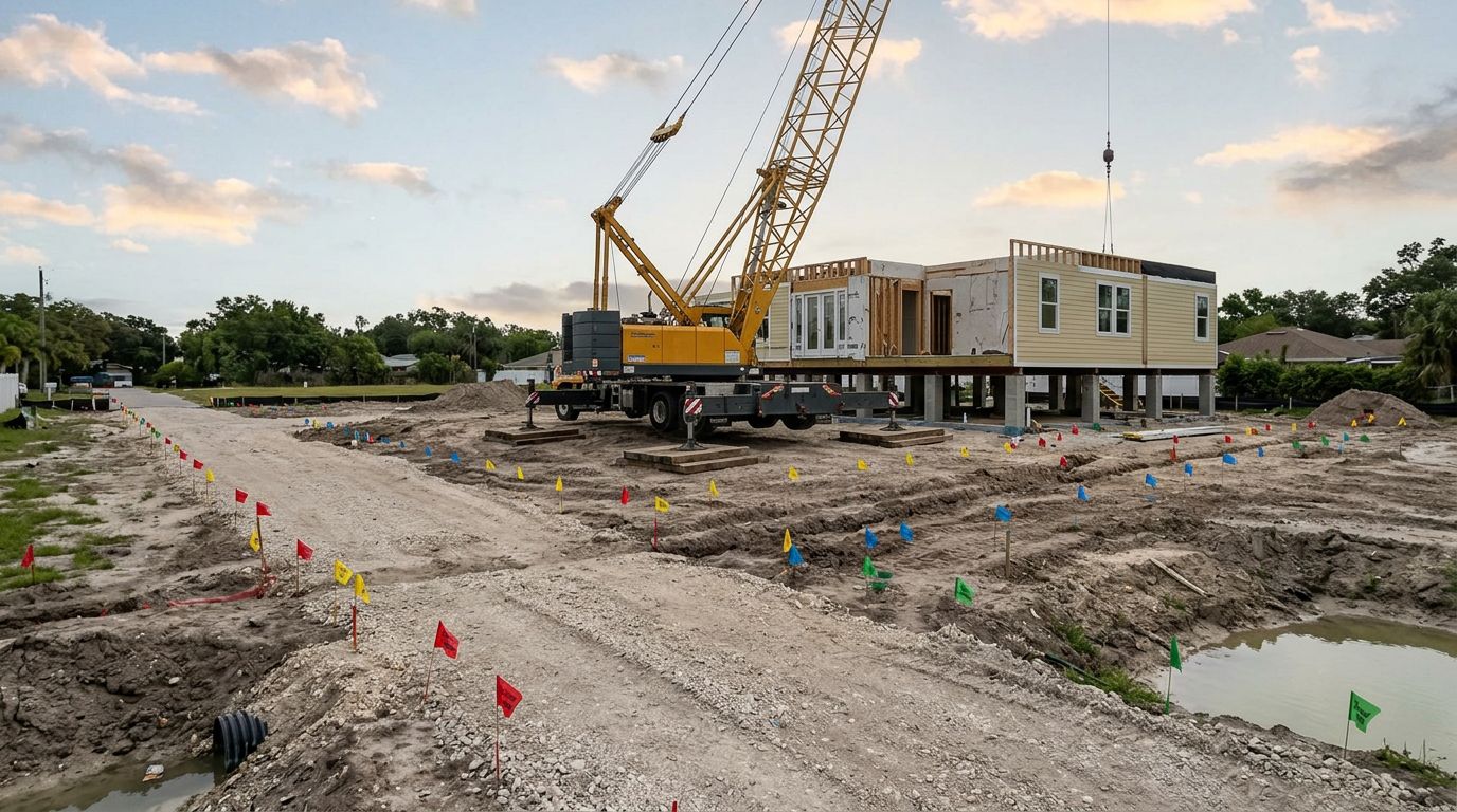
Ground conditions also shape modular home installation. A crane's outrigger area and a concrete truck's route may cross ground that won't support them safely when wet.
Mark likely crane and delivery positions during the site review. Then flag fill, drainage dips, septic components, buried utilities, and areas near a canal edge or seawall for further evaluation. The foundation engineer and lift planner have different decisions to make, but both need an honest account of the ground.
Match the concrete design to the structure being set
Surveying establishes location and elevation. Engineering must then connect that information to the structural drawings for the home and the planned set.
Confirm bearing points and loads
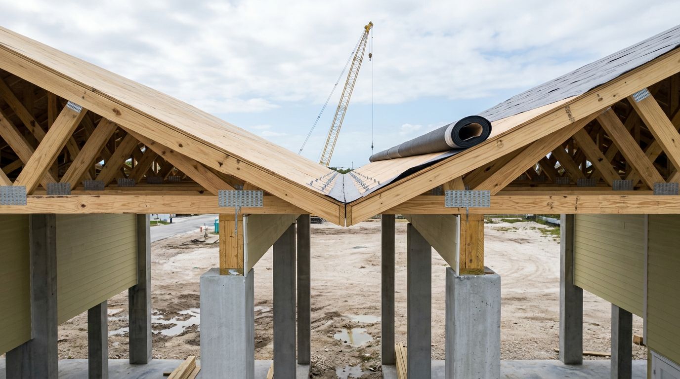
Before designing columns, piers, grade beams, or an elevated slab, the engineer needs the structure's bearing locations and applicable loads. Connection and anchorage details matter too, especially where the design must resist wind uplift and lateral forces.
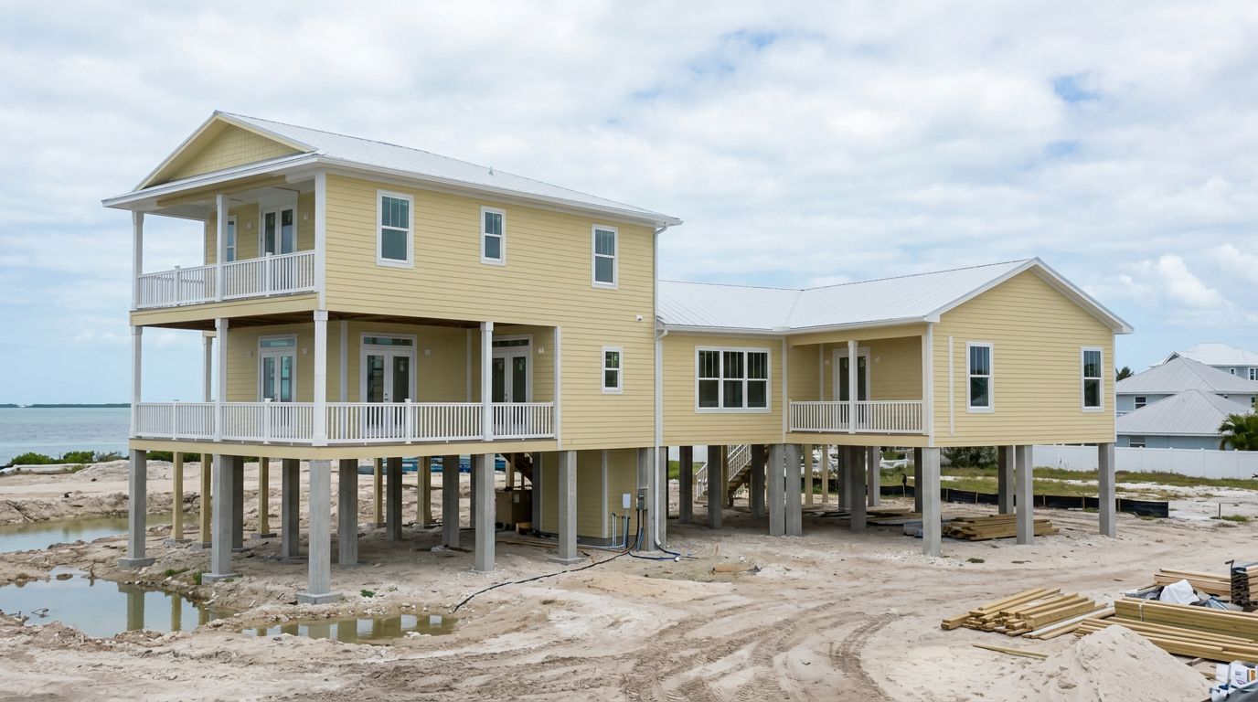
An elevated foundation may be appropriate on a coastal lot, but its configuration depends on the flood hazard, soil, loads, and approved plans. A slab at grade shouldn't be assumed acceptable simply because a neighboring property has one. Equally, not every Florida modular site requires the same elevated system.
Leave room for a buildable set
The foundation layout must allow crews to place and align each section on its intended supports. Check that columns and connection points won't block the planned lift path or prevent access to work beneath the home.
On a restricted-access Sarasota property, changing a column position after permit review can affect both structural design and crane planning. Resolve these conflicts while the drawings can still be revised. That is easier than correcting finished concrete with trucks waiting nearby.
Survey the access route, not only the footprint
A sound foundation is little help if the sections cannot reach it. Site review should extend beyond the lines that define the building pad.
Follow the delivery path into the lot
Record street width, turning space, gates, trees, overhead lines, poles, and nearby buildings. Photograph tight areas and identify where trucks could wait without blocking the work.
Key West streets and waterfront lots in the Florida Keys can restrict turns and staging. Fort Myers and other Gulf Coast communities can present different problems, including long soft approaches after rain. The setup team should check the route against the actual section dimensions and planned delivery sequence.
Give the crane planner usable site information
Show candidate crane positions, working space, obstacles, and the distance to the farthest placement point. A canal, pool, or neighboring roof can change the lift plan. So can a utility line above an otherwise open pad.
The crane company must determine equipment and lift feasibility; a survey alone cannot certify ground bearing or crane capacity. Still, early site measurements keep the modular home setup plan tied to the same foundation location the engineer is designing.
Turn the survey into a permit-ready construction plan
The survey becomes most useful when everyone works from the same version. The surveyor, foundation engineer, installer, and permitting team should agree on the footprint and elevation references before submittal.
Coordinate drawings and local review
Compare the survey, proposed site plan, foundation drawings, and structural information before filing. Confirm that they show consistent boundaries, setbacks, support positions, flood data, and elevations.
Under the Florida Building Code's permit provisions, an authority may issue a foundation-only permit before the full building permit when adequate information for that work is filed. That option isn't permission to pour before the design is settled. Check the local submittal path for the property, whether it's in Tampa, Sarasota, Naples, or elsewhere on the Gulf Coast.
Keep inspections in the schedule
The code's foundation inspection sequence includes review after trenches are excavated and forms are erected. Additional inspections and flood-elevation documents depend on the permitted work and local requirements.
Before concrete placement, verify forms and support locations against the approved plan. Later, confirm required elevations before the set proceeds past any local inspection hold point. A failed check can delay delivery, so the responsible party for each survey visit and inspection request should be named in the project schedule.
Key takeaways
- Confirm the parcel's jurisdiction, flood designation, and local review requirements before foundation engineering.
- Give the engineer reliable boundaries, usable spot elevations, site constraints, and the structure's bearing information.
- Review soils and crane access as separate issues; a buildable foundation doesn't automatically mean a workable set.
- Schedule elevation verification and inspections before committing to a delivery date.
Frequently asked questions
Do I need a new survey for a Florida modular foundation?
Not in every case under a single statewide rule. The engineer and local permitting office can decide whether an existing survey shows the current boundaries, grades, improvements, and elevation references needed for this design. A waterfront lot that has changed since its last survey may need updated fieldwork.
Does the Elevation Certificate come before foundation engineering?
Usually, foundation design starts with survey elevations and flood requirements, not a completed certificate for a home that hasn't been set. In a flood hazard area, required lowest-floor certification occurs after placement of that floor and before further vertical construction. Confirm any additional local checkpoints early.
Can the survey replace a crane site visit?
No. It gives the crane planner dimensions and site features to review. The lift team still needs to assess access, ground support, overhead clearance, load, and working radius for the actual set.
Conclusion
A Florida modular home site survey is most valuable when it connects property limits and elevations to a foundation that crews can build and reach. Reliable site measurements let the engineer resolve flood height, supports, and placement before concrete fixes those decisions in place.
That early coordination also protects set day. The foundation, inspections, delivery path, and crane position can then follow one approved plan instead of competing assumptions.
Recent Posts